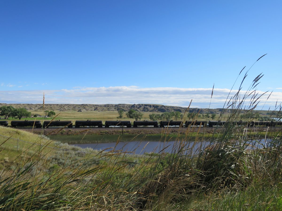
Heading down out of Glacier National Park, you enter the rolling prairies of Eastern Montana. Cut Bank, a town so-named for the local river that, well, cuts through the rather prominent bank, has little to otherwise recommend it. There is one “diner and lounge” that lets you wash down your roadside burger with a surprisingly decent selection of beer, but that is about it. It’s also (I hope), the community farthest to the east of Glacier National Park that claims to be a “gateway to Glacier”. By the time you’ve reached Cut Bank, you’ve passed numerous communities claiming to be gateways to Glacier, all with more claim than Cut Bank, from which the most you can say is that the mountains are visible on the hazy horizon.
Shelby, just a short jaunt down the road, in, they claim, the beginning of Sweet Grass Hills country, is probably a better place to overnight. There is at least a store with a hodgepodge collection of local objects, appropriately named the Prairie Peddler, which serves a drinkable latte. The diner next door, however, should be avoided; just make your own breakfast.
Continuing east on HW-2, you’ll notice the road is dotted with historical markers describing the area. After driving too quickly past a sign that read “The oily bird gets the worm”, I decided it may be entertaining to stop at the next sign. It turned out to be a cheery stop.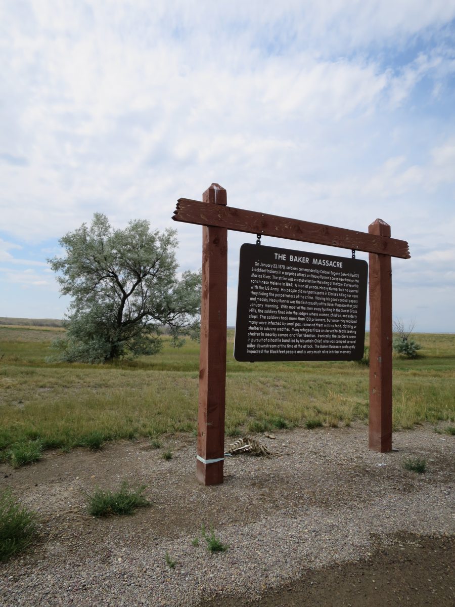
The Baker Massacre. On January 23, 1870, soldiers commanded by the Colonel Eugene Baker killed 173 Blackfeet Indians in a surprise attack on Heavy Runner’s camp near here on the Marias River. The strike was in retaliation for the killing of Malcolm Clarke at his ranch near Helena in 1869. A man of peace, Heavy Runner had no quarrel with the US Army. His people did not participate in Clarke’s killing nor were they hiding the perpetrators of the crime. Waving his good conduct papers and metals, Heavy Runner was the first casualty of the Baker Massacre that cold January morning. With most of the men away hunting in the Sweet Grass Hills, the soldiers fired into the lodges where women, children, and elderly slept. The soldiers took more than 100 prisoners, but once they realized many were infected by small pox, released them with no food, clothing, or shelter in subzero weather. Many refugees froze or starved to death seeking shelter in nearby camps or at Fort Benton. Ironically, the soldiers were in pursuit of a hostile band led by Mountain Chief, who was camped several miles downstream of the attack. The Baker Massacre profoundly impacted the Blackfeet people and is very much alive in tribal memory.
Chester is a pleasant place to stop for a bit. At this point in Montana, you almost don’t notice signs like these.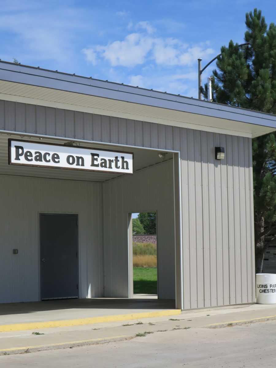
But certainly you notice a sign like this.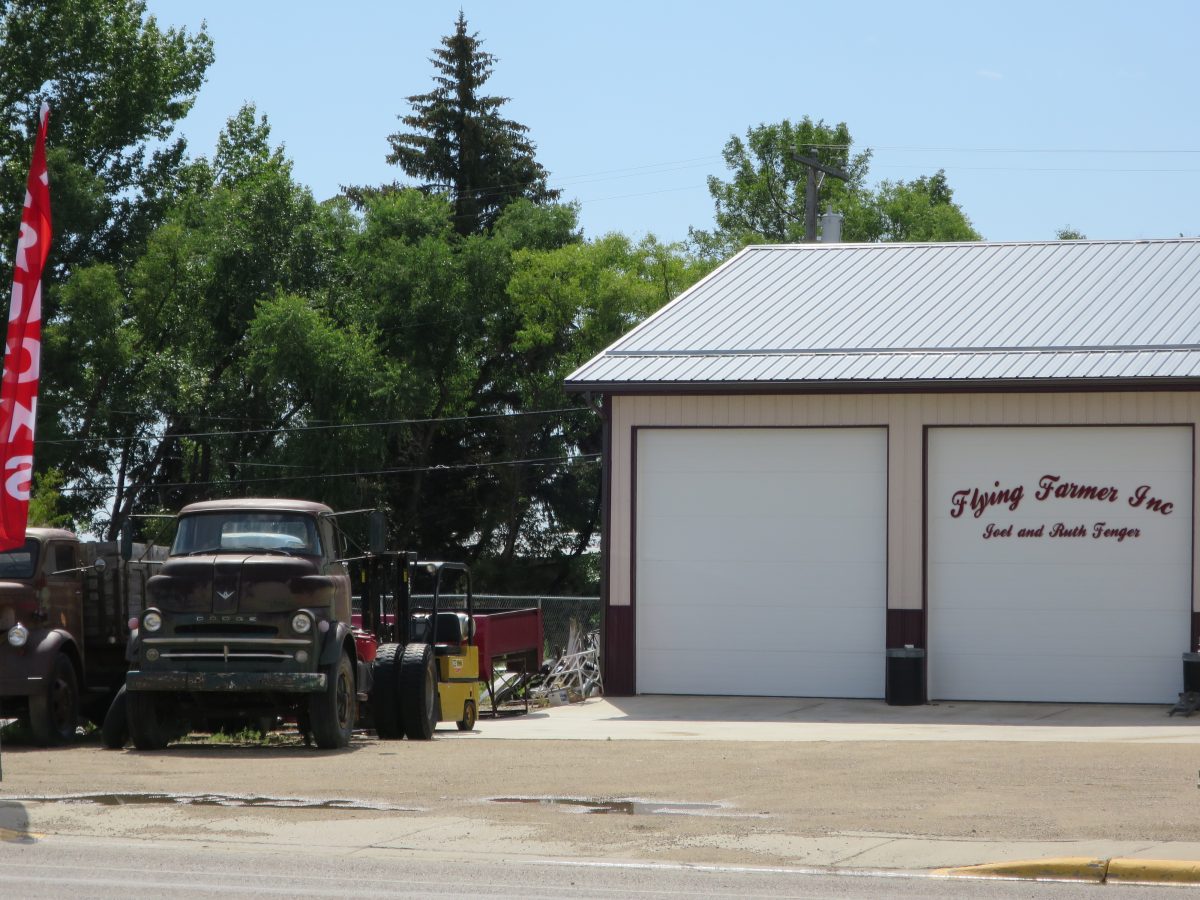
Unfortunately the local diner appeared to be a thing of the past. Or perhaps it just has extremely limited hours. It’s hard to tell; you can never trust signage on stores in small towns. When a place first opens, they put up a sign with their hours, and after that any changes are typically distributed by word-of-mouth.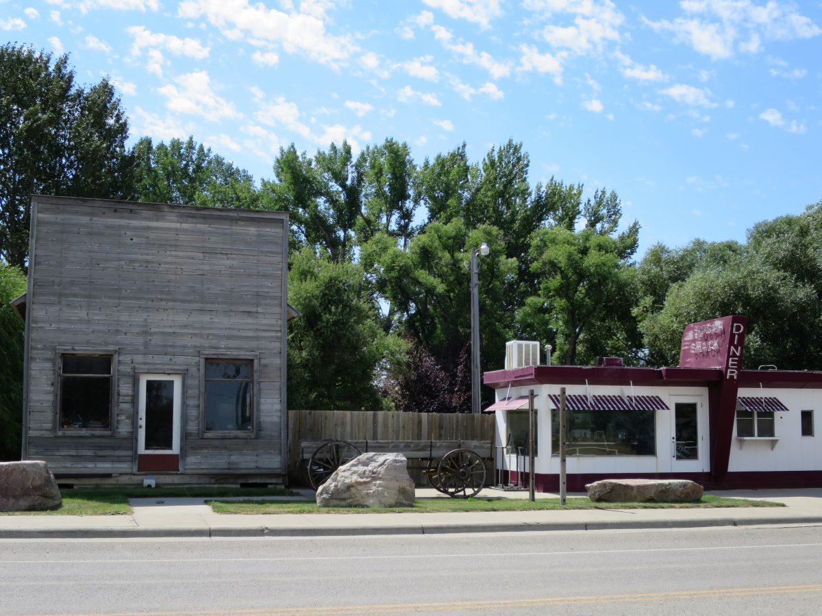
If you stay in Havre, don’t stay at the fairgrounds. Right off HW-2, the facilities are terrible and the spaces are far too expensive. Across the street, however, is an extraordinarily ugly shopping mall that hides an excellent Buffalo Jump. The view from the Buffalo Jump is better facing north.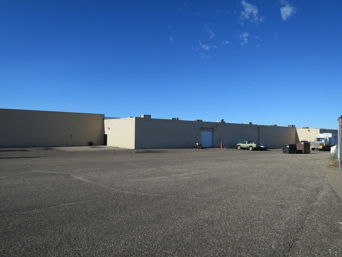
The buffalo probably had a nice view before they were driven off a cliff and then, if they survived the fall, stabbed to death by atlatl-thrown spear.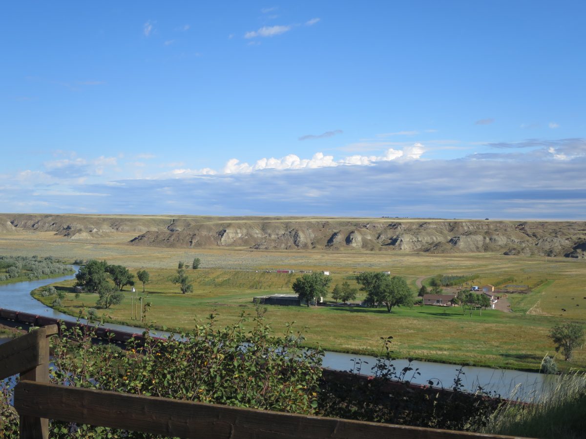
The Buffalo Jump itself is an interesting site, as you can walk through and see the archeological finds in situ, protected from the weather by huts built around them. For some reason they didn’t actually let me walk, instead preferring to “cut a half-hour” from the tour by taking an old jeep, even though a heavy thunderstorm the night before meant that this mode of transport left both driver and passenger soaked from jeep-collected rainfall. People in Montana generally seem to feel that anything over a 1/2 mile is “too far to walk”, and in this case, anything which includes an incline is better done seated.
Whoever determined this should be a tour site also decided it was necessary to completely fence the area off, and regrettably they left out the hilltop area that was used as a campground during the hunt. By the time they realized this, they were out of money and could not extend the fence. Given that the campground is on BLM land, you might think that they would just put a gate in said fence, but then perhaps that would require admitting that the fence was not really necessary in the first place. In any case, if I’d had time I would have checked if there was access to that particular slice of BLM land. (BLM land is like that — if you can access it, you’re welcome to hike and camp on it, but sometimes there is no public access route.)
As you drive into Havre from the west, be sure to note the “Loans and Guns” business on the righthand side. They’ve got you covered if you need a loan, a gun, or perhaps a loan to buy a gun.
Havre proper has a great bakery in the basement of the Atrium, a rather ugly shopping complex that improves once you are inside; they serve decent drip coffee and fresh cinnamon rolls in the mornings. Across the street, you can see the old WPA-era post office, which was sold off in 1995, and finally restored for use as office and event space after sitting vacant for several years. Outside, a nice fellow noticed me and offered me a coffee. This is the sort of place where people buy an extra coffee just because they might meet someone who will want it.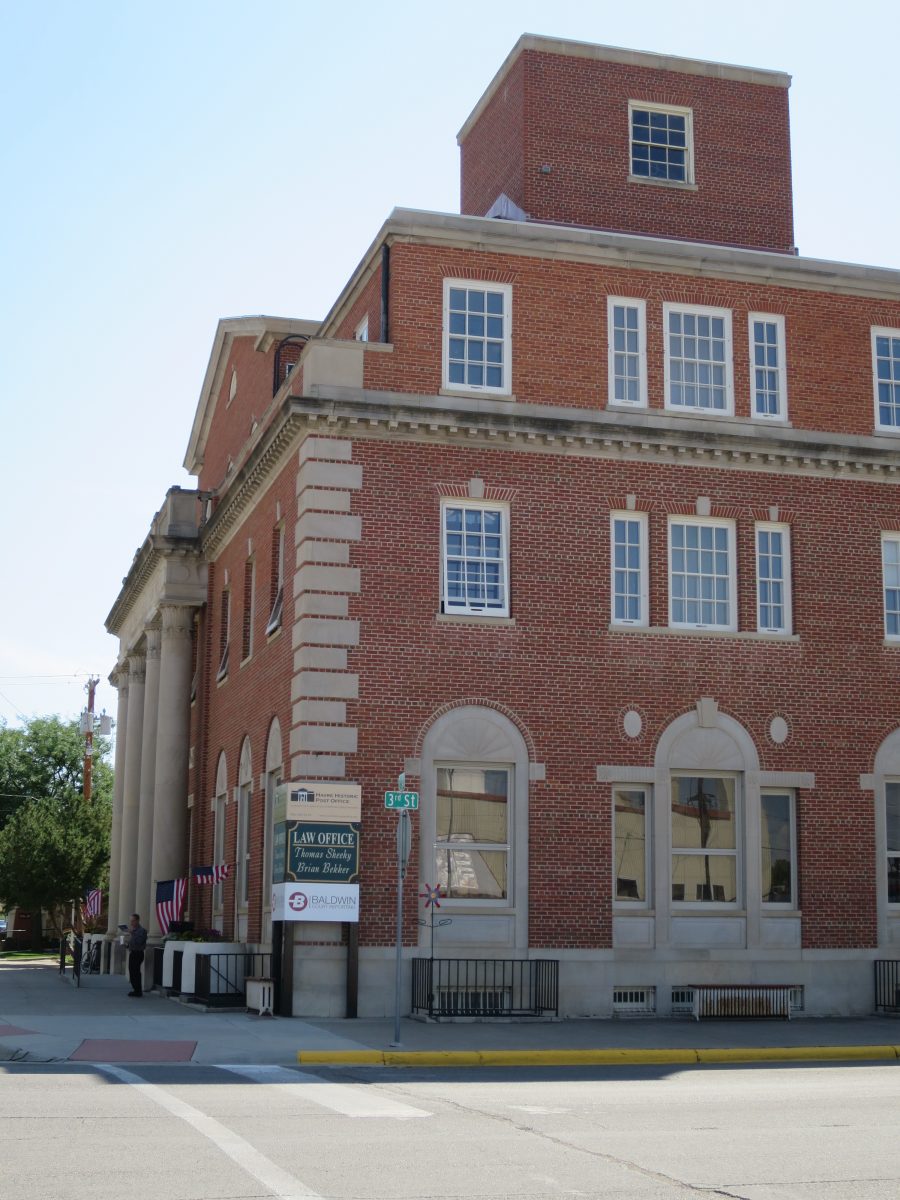
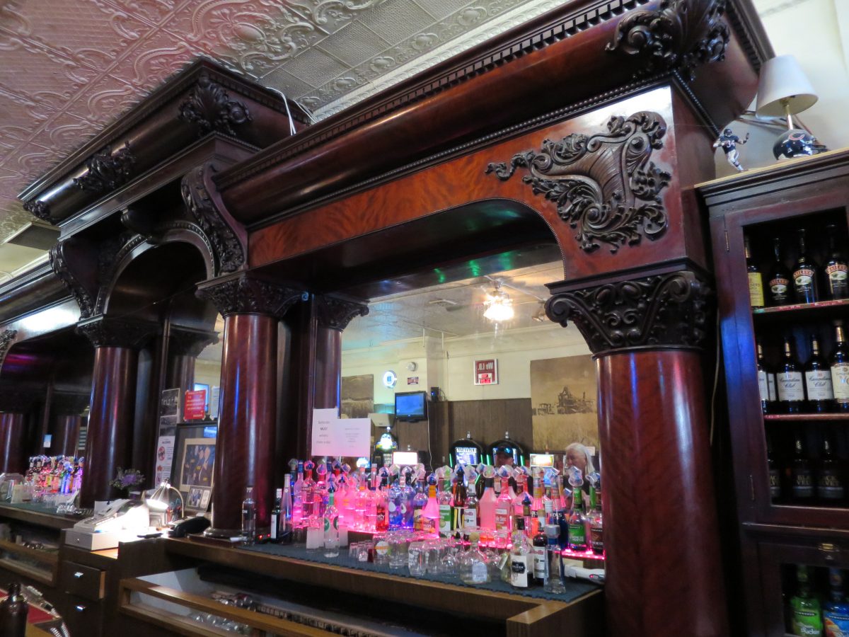
Downtown there is also the Palace Bar. The owner will tell you that the back bar came up the river in the early 1900s. They did have a train then, though, so I’m skeptical. The owner is friendly, and his pool buddies offered me a free drink once they heard my story, and offered a great camping suggestion I probably would have missed otherwise.
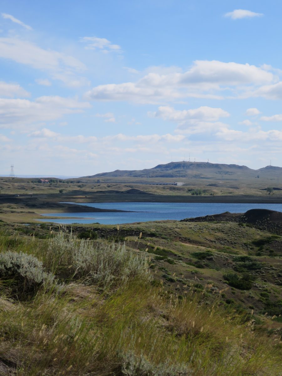
Following the pool players’ suggestion, I detoured around Glasgow down to Fort Peck. My site was quite private, with a lovely view. I also got to learn exactly how tight a u-turn the trailer can make.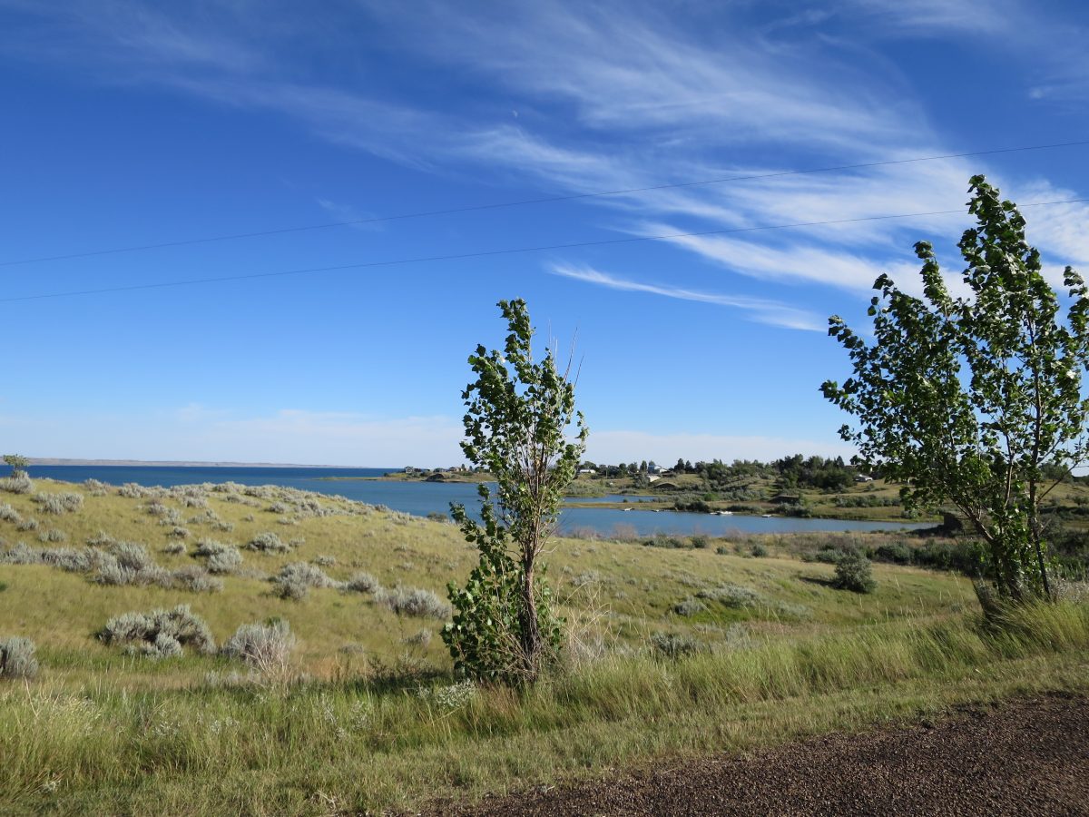
Fort Peck itself is a man-made lake. In the days of Lewis and Clark (you get to hear about everything from the supposed viewpoint of Lewis and Clark in pretty much all of the northern mid-West; things weren’t “discovered” until they were seen by Lewis and Clark, etc., etc.), this site had the Big Dry River running (or, more usually, not running) through it. Near here, Captain William Clark supposedly spotted and then named the river that winds along much of HW-2 in eastern Montana, the Milk River. It has a nominally milky appearance, I think because of clay, and flows into the Missouri near Fort Peck. If you check Wikipedia, you’ll note the credit is given to Lewis, since he is of course the one who bothered to write down the observations of Captain Clark.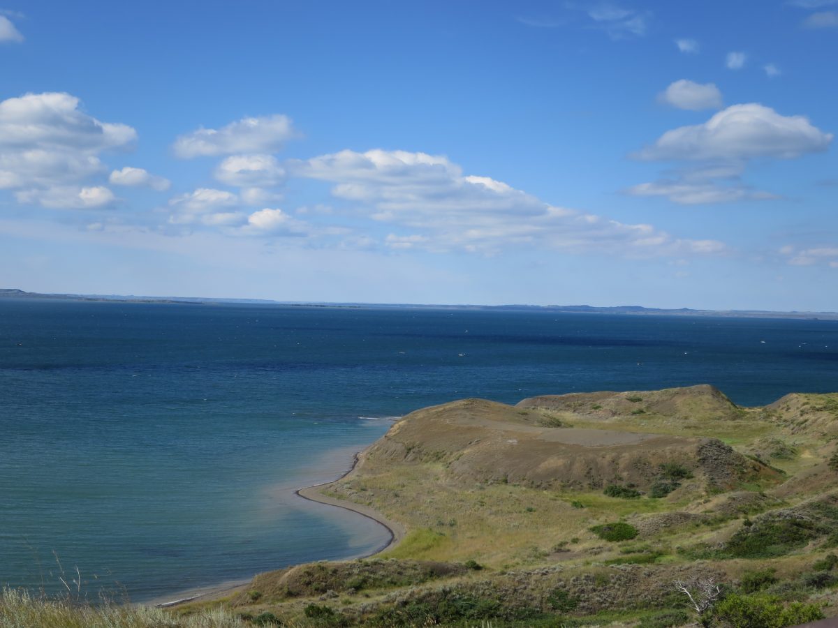
Fort Peck has some nice historical markers and outlooks. I’m glad I missed a turn and was able to experience the view and this sign.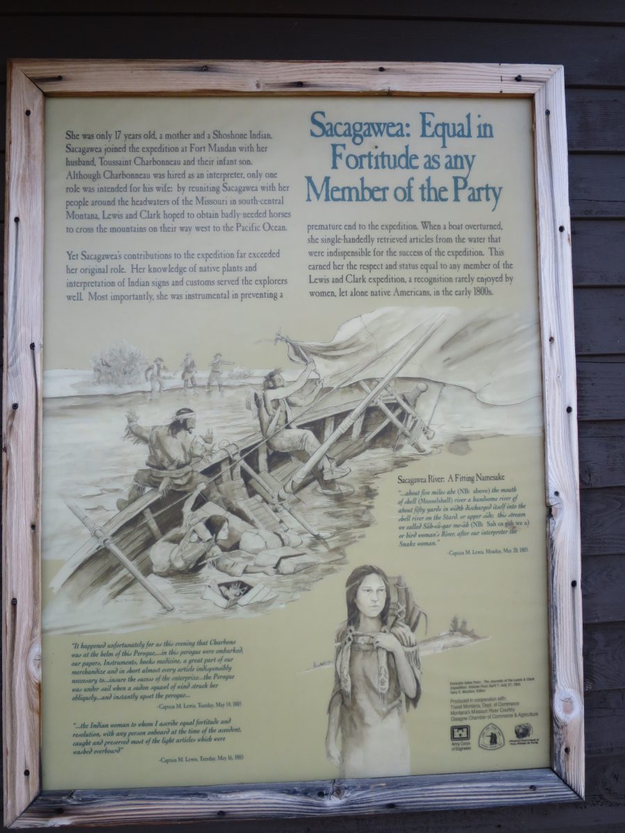
Having run out of food, however, I couldn’t stay at Fort Peck very long. In the final parts of Montana, you get to pass by numerous motels whose best advertisement is apparently “clean rooms”. And a sign that says “Kremlin, USA style” with a painted American flag.
